
Current grounds map
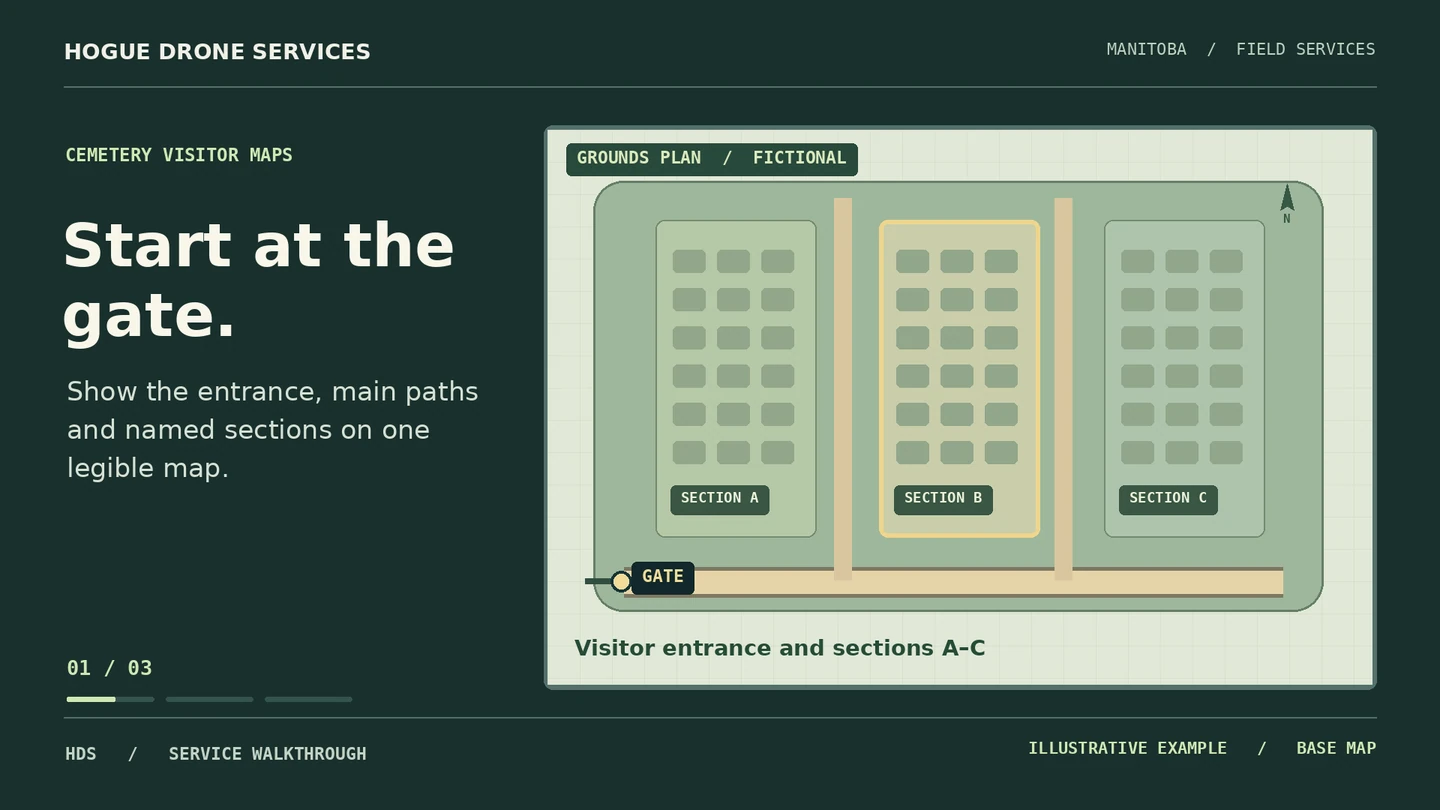
Aerial context shows entrances, internal roads, paths and section boundaries supplied or approved by the board.
FIELD RECORDS & MAPS / HOGUE DRONE SERVICES
Help families find the right entrance, path and section before they arrive.
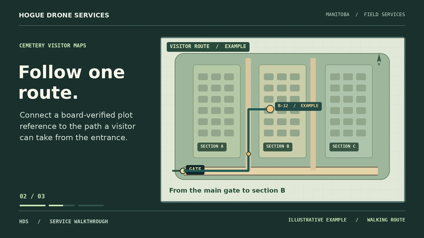
An entirely fictional cemetery layout demonstrates how a visitor follows numbered sections from the gate.
01 / PROJECT BRIEF
A visitor looking for a grave needs a clear route through the grounds. We combine a current aerial base with the cemetery board’s verified section names and register to produce a map that works at the gate and on a phone.
Who it’s for Cemetery boards, churches, municipalities and grounds managers.
Aerial context shows entrances, internal roads, paths and section boundaries supplied or approved by the board.
A legible gate-map file and a phone-friendly map, with optional QR artwork pointing to the board’s agreed public destination.
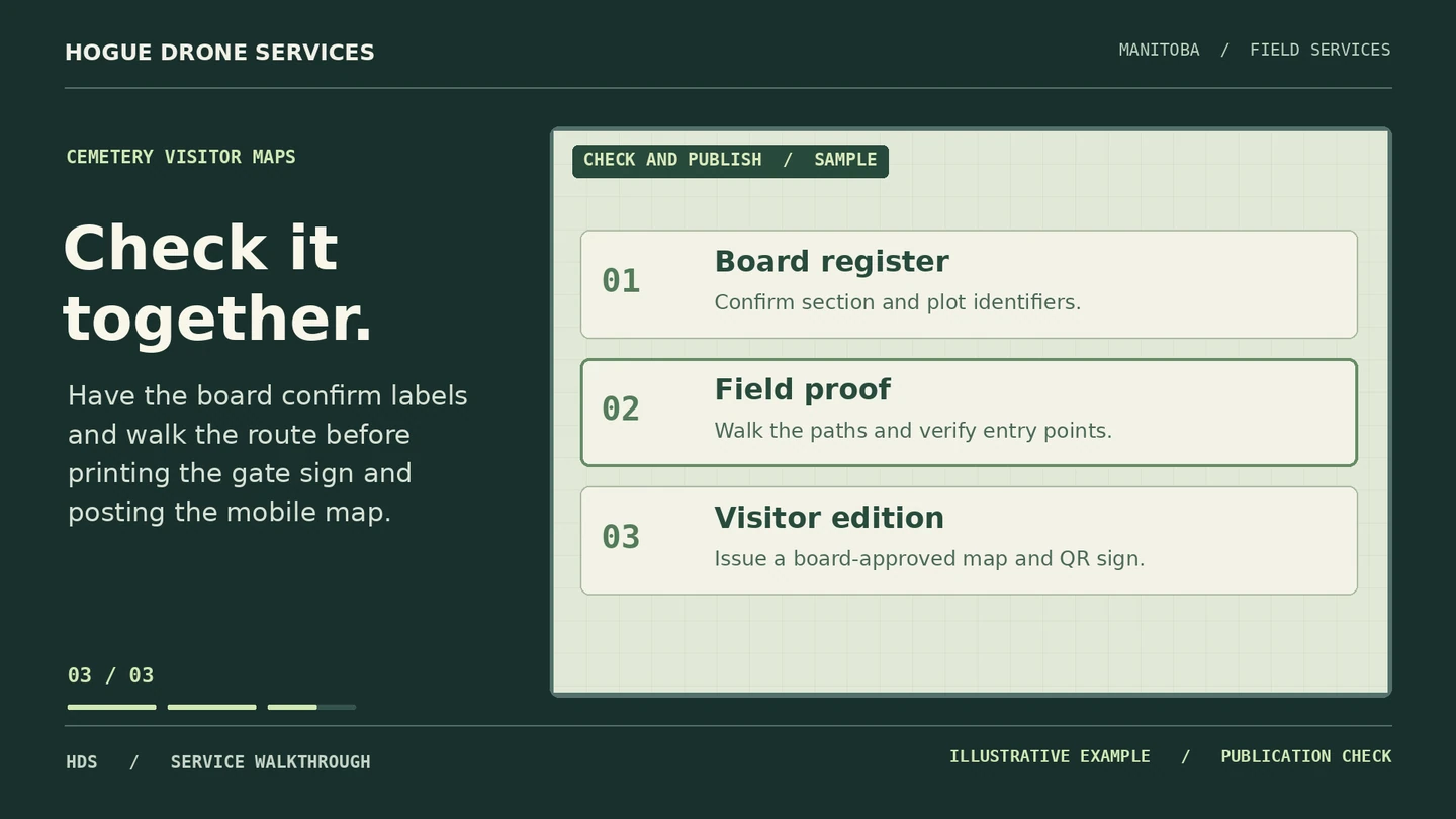
The custodian checks labels, path accessibility information and any plot references against the official register before the map is released.
02 / VISUAL WALKTHROUGH
03 / FROM BRIEF TO DELIVERY
The board chooses the labels, source register and access information. Personal names are added only where authorized for publication.
Coordinate a clear time with the custodian around services and visitors. Survey imagery captures the layout of the grounds.
Review a proof from each entrance, test legibility on a phone and issue the approved files to the custodian.
BOOK WITH ERIC HOGUE
Send the cemetery location, existing plan or section register, custodian contact and your desired print and mobile formats. We’ll confirm the scope, timing and full price before booking.