
Crossing index
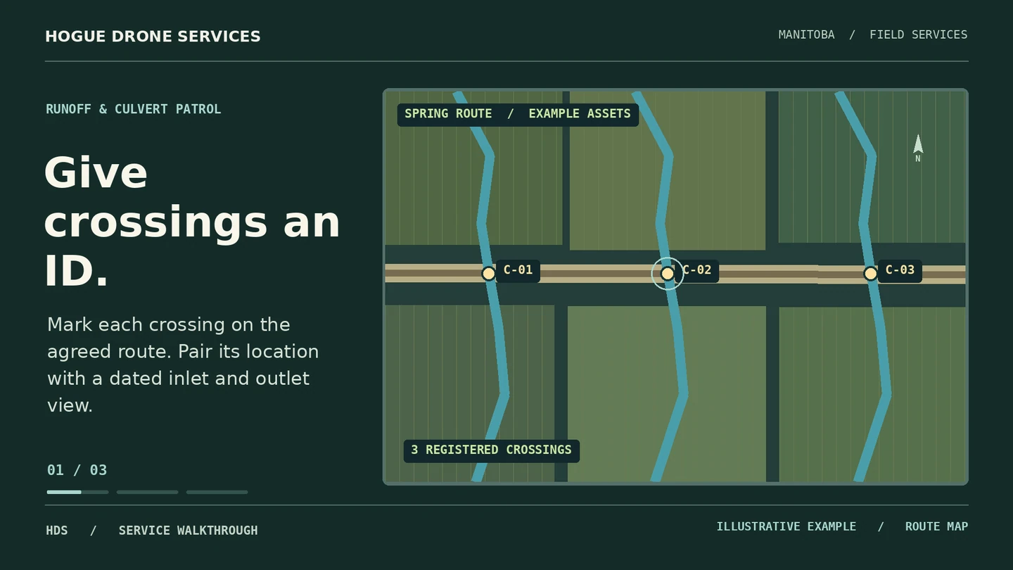
A map or CSV uses your asset IDs and approximate coordinates, with a dated link to each record.
FIELD RECORDS & MAPS / HOGUE DRONE SERVICES
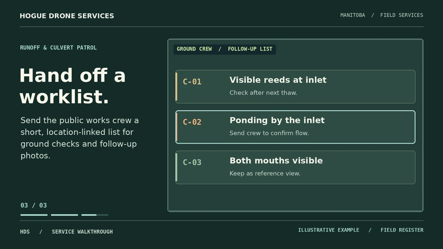
Give the road crew a short list of crossings to check after the melt.
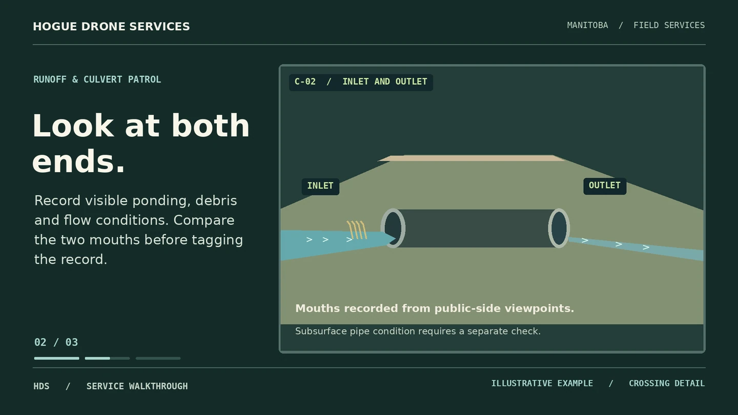
An illustrated road crossing shows how a crew can follow a location pin to a dated inlet and outlet record.
01 / PROJECT BRIEF
Follow the same road section after thaw or heavy rain. We photograph visible inlets, outlets, standing water and debris so the foreman can assign ground checks and compare the crossing after work.
Who it’s for Rural municipalities, public works teams and drainage contractors.
A map or CSV uses your asset IDs and approximate coordinates, with a dated link to each record.
Labelled views show what was visible at capture time. Snow, vegetation or water that obscures a feature is noted.
A short list of visible concerns and a repeat-view sheet for completed work. Engineering priority and remedial decisions stay with your team.
02 / VISUAL WALKTHROUGH
03 / FROM BRIEF TO DELIVERY
Supply existing asset IDs or mark crossings on a map. Identify traffic, rail and private-access constraints.
Capture accessible ends and the adjacent drainage context from approved positions.
Repeat selected views and send a before-and-after pair against the same crossing ID.
BOOK WITH ERIC HOGUE
Send the municipality or road segment, an approximate crossing count and the file format used by your crew. We’ll confirm the scope, timing and full price before booking.