
Repeat viewpoints
A short numbered list of camera views and reference features so the next visit can reproduce the framing.
FIELD RECORDS & MAPS / HOGUE DRONE SERVICES
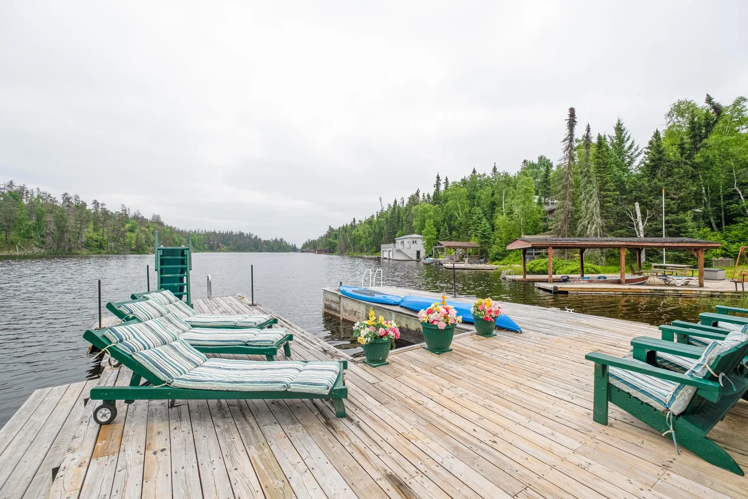
See the same dock and shoreline before freeze-up and after ice-out.
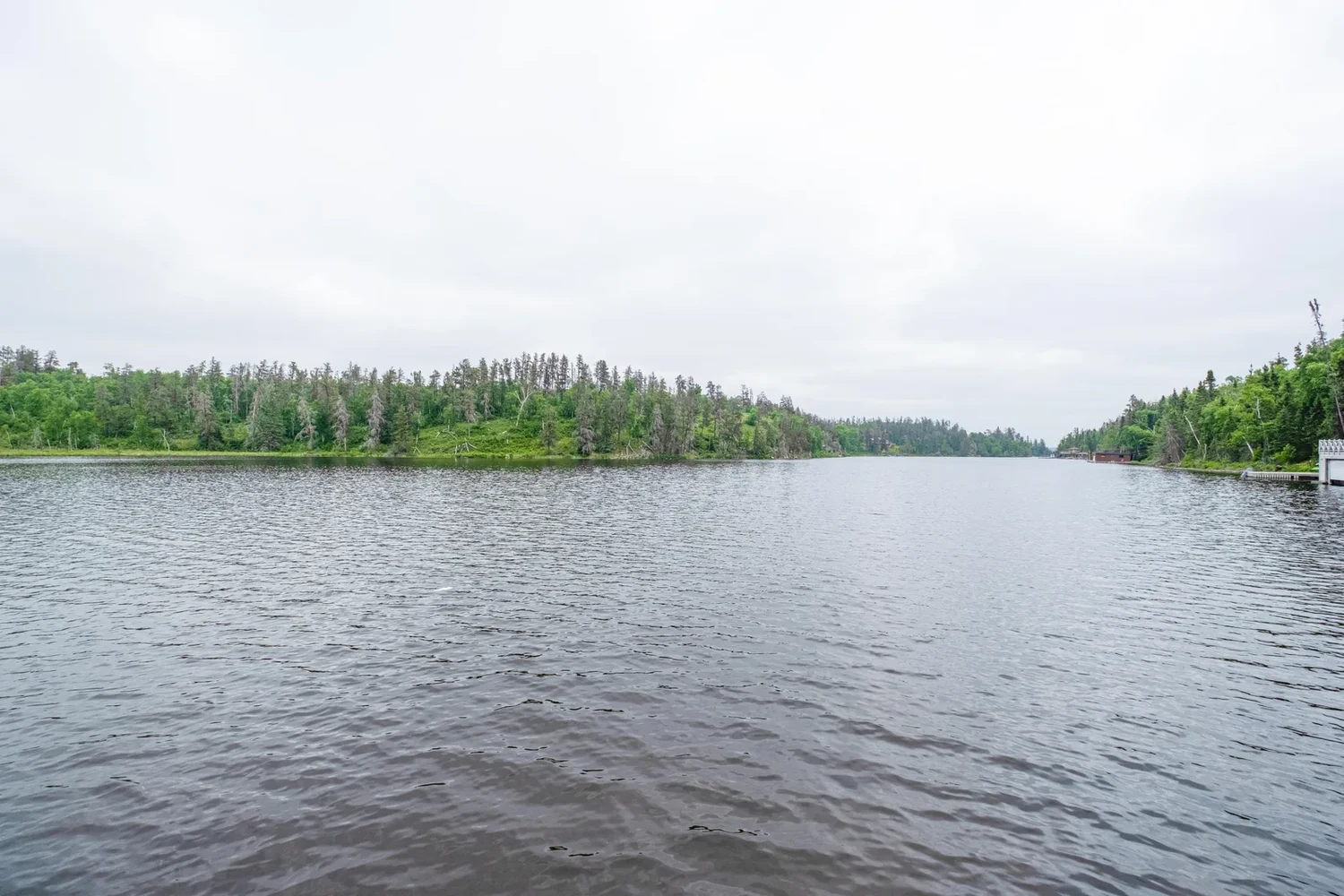
West Hawk Lake archive imagery illustrates the setting. The comparison marks are an example of how a seasonal record is presented.
01 / PROJECT BRIEF
A close photograph can show that a board shifted. A matching view from the other season helps show where. We build a repeatable record of the dock, shoreline and access points for the owner and the contractor doing the work.
Who it’s for Cottage owners, marinas, resort operators and dock contractors.
A short numbered list of camera views and reference features so the next visit can reproduce the framing.
Matched wide views and close-ups of agreed features such as a dock connection, bank edge or boat access.
A location sketch and one comparison sheet per priority area. The owner can point directly to the item they want checked.
02 / VISUAL WALKTHROUGH
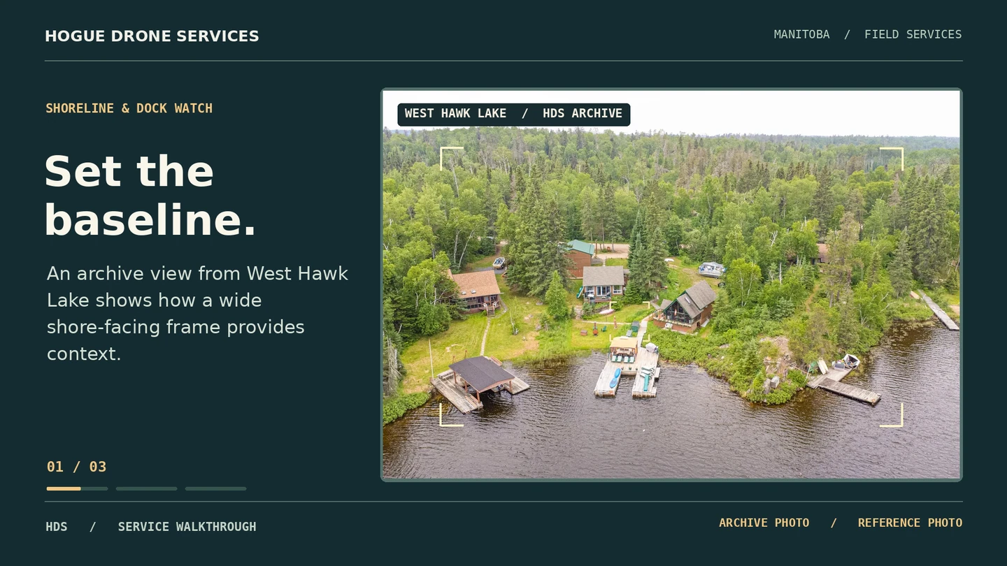
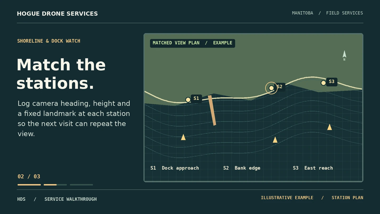
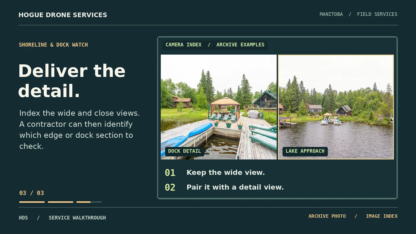
IN THE HDS ARCHIVE / ORIGINAL PHOTOGRAPHS
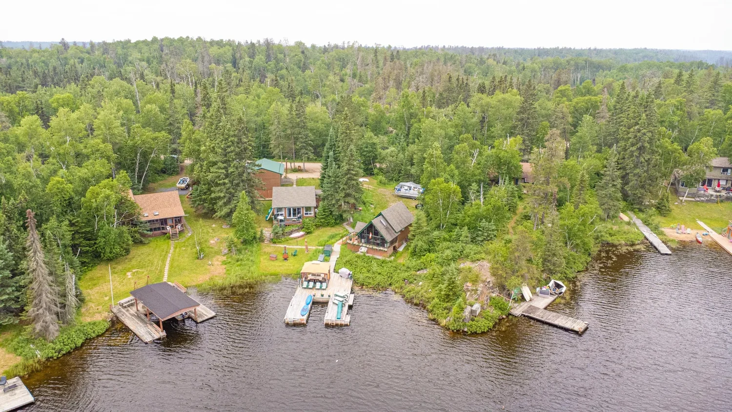
03 / FROM BRIEF TO DELIVERY
Mark the endpoints and tell us which structures and concerns to document.
We agree on site access and any applicable park permissions. Record season, visibility and water conditions at the first visit.
Repeat the views after ice-out, a storm or completed work. Identify visible differences and note when water level or camera angle limits the comparison.
BOOK WITH ERIC HOGUE
Send the lake, approximate frontage, access arrangements and the two dates or seasons to compare. We’ll confirm the scope, timing and full price before booking.